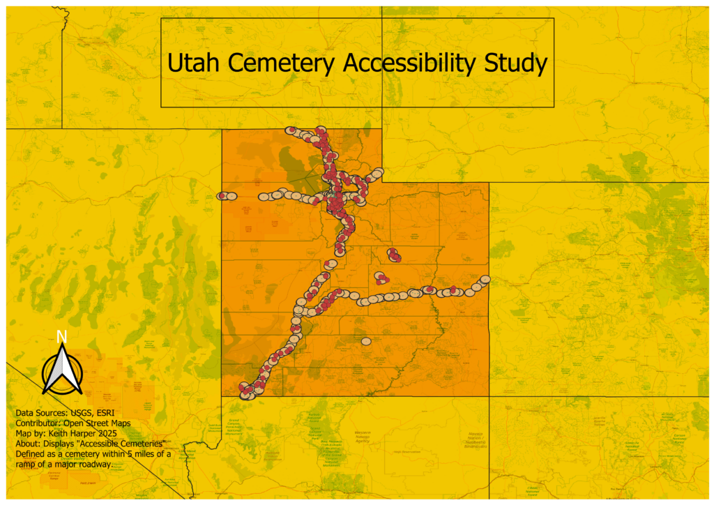
As “The Cemetery Detective,” I spend a lot of time searching for stories etched in stone and buried in the past. But this time, my investigation took a different turn: instead of walking through rows of gravestones, I found myself walking through rows of data. The result? A map that not only pinpoints cemeteries across Utah but also illustrates their proximity to major roadways and helps us understand their distribution by county.
This project started with a simple question: how many cemeteries in Utah are located within one mile of a major road? The answer wasn’t buried in an archive or scratched on an old headstone—it was buried in datasets. Using GIS (Geographic Information Systems) tools, I combined county boundary data, road network data, and cemetery locations, working through layers of information to reveal a visual story.
The result? A map that highlights cemeteries within easy reach of highways and ramps. It’s not just a neat visualization—it’s a functional tool for historians, genealogists, and travelers. Whether you’re researching family history or planning a weekend road trip to explore Utah’s history, this map helps you see how accessible these burial grounds are. It also provides insight into population density, historical settlement patterns, and even how topography has influenced where people chose to bury their loved ones.
But what excites me most about this project isn’t just the map—it’s the process and the possibilities it reveals for the future.
What’s Next?
This map is just the beginning. It’s an example of how we can take raw data, massage it into a usable form, and use it to ask meaningful questions. In the future, I plan to dive even deeper into the stories behind the cemeteries.
Here are a few upcoming projects I’m excited about:
- Mapping Cemetery Longevity: How old are Utah’s cemeteries, and how does their age correspond to historical migration trends? By layering this data with other historical maps, I hope to identify the rise and fall of communities across the state.
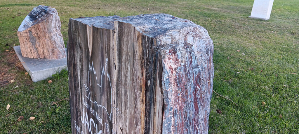
- Gravestone Materials and Patterns: Can we map out the use of materials like marble, granite, or sandstone by region or time period? This might reveal the economic or cultural influences of those who lived (and died) here.
- The Impact of Accessibility: How does proximity to major roads affect the preservation of cemeteries? Are easily accessible burial grounds better maintained than remote ones?
This is where GIS and cemetery research become truly exciting: they don’t just answer questions—they spark new ones.
Why Does This Matter?
Cemeteries are more than places of rest—they’re repositories of culture, history, and memory. Mapping them isn’t just about finding their locations; it’s about preserving their significance. By connecting geography, history, and technology, I hope to create tools that help others explore the past while inspiring more appreciation for these sacred spaces.
Whether you’re a researcher, an explorer, or just someone curious about the hidden stories in your hometown, there’s so much we can learn by uncovering what’s beneath the surface—both literally and figuratively.
For now, I’ll keep digging—both into data and into history. Who knows what stories the next map might reveal? Stay tuned for more adventures from “The Cemetery Detective.”

