Grand Center Baptist Church Cemetery – Chickamauga, Georgia

In my continual study of North Georgia Cemeteries, I happened upon Grand Center Baptist Church

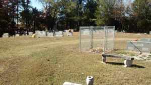
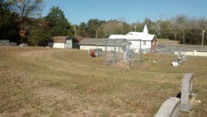
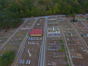
In my continual study of North Georgia Cemeteries, I happened upon Grand Center Baptist Church with a fenced-in cemetery directly behind the building. This cemetery confused me on three accounts.

Grand Center Baptist Church

When I first arrived at the cemetery, I pulled up Google Maps and Billion Graves to get a confirmation of the correct name and location. I’ve found many church yard cemeteries with names that are not correlated to the name of the church. According to Billion Graves, this cemetery is listed as Chickamauga Cemetery. However, I know Chickamauga Cemetery to be a much larger cemetery. Hmmmm. Why is this cemetery listed as Chickamauga Cemetery in Billion Graves? During further investigation, I found this cemetery to be omitted from Google Maps.

grand_center_churchyard

Is it possible this cemetery is not a nationally recognized cemetery and it only exists as a burying yard on church grounds?

Grand Center Baptist Church

The next thing that confused me was a tall chain-link enclosure right in the middle of the cemetery. What an odd location for a chain-link enclosure. Why is it here? Is it for placement of old flowers? Is it protecting a piece of land that is not to be walked on? I don’t know.

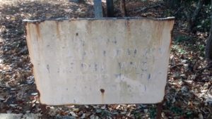
The third thing that confused me was a barely readable sign located within a family plot on the western edge of the cemetery. The sign read: “Grave Service Made By Samuel Buchanan For Family In The Deed Which Transferred This Tract To The Public As A Burial Ground.” I imagine this is a legal statement and probably has something to do with the reason this cemetery is not listed on my cemetery maps.

cemetery_sign

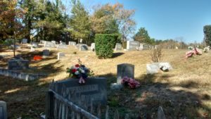
Overall, this was a very pleasant cemetery; well maintained with nice flowers. I wish someone would have been in the church so I could have asked a few questions. If anyone with knowledge of this cemetery has answers, please leave comments below or email me via the “contact page.”

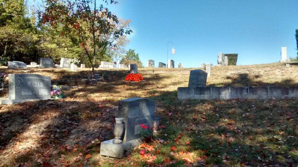
Eastview Cemetery – Adairsville, Georgia

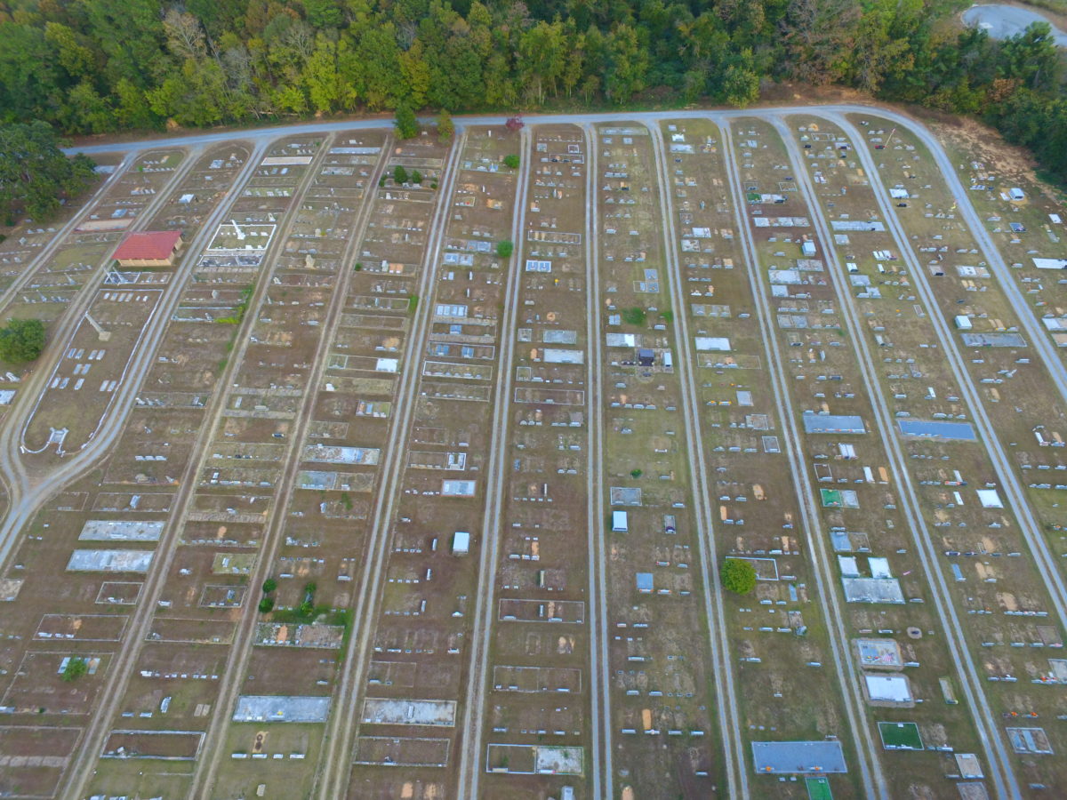
The parallel lines of Eastview Cemetery.

I am always fascinated with cemetery layouts.

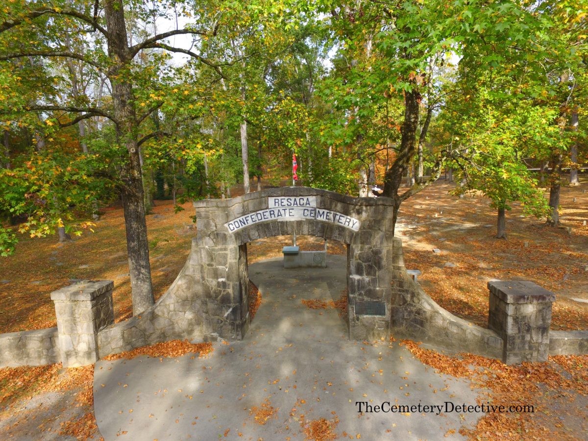
One thing I’m always looking for is in what direction does the headstone face. It is common practice for headstones to face east with the interred’s head toward the west end of the grave. So, if the body were to rise up (as in during the time of the rapture) the body would be facing east toward the coming of Christ. This is not always the case, however, as seen in the Resaca Confederate Cemetery I visited earlier today. Many of those burials are in a circular pattern facing a large stone cross at the center of the cemetery.

Eastview Cemetery – Parallel Lines

Another pattern I observe is the divisions of sections of the cemetery. Eastview Cemetery in Adairsville Georgia has some of the most perfectly straight lines of any cemetery I’ve ever visited. Each section is approximately 50′ wide separated by a perfectly straight driveway. Funnily, though this cemetery is named “Eastview”, most all burial sites face west.

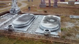
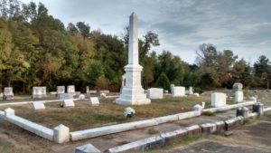
I can imaging in days-gone-by, this was a prestigious cemetery. The cemetery’s grass is well maintained despite the closeness of many of the grave markers. The majority of the grave markers are in decent condition. I found several very interesting oval tombstones. The marble obelisks show some signs of sugaring but their overall condition is good.

While I was strolling the grounds, reading the grave inscriptions, and doing some cemetery photography, I saw several families visiting, placing grave flowers, and visiting with their departed loved-ones.

eastview_cemetery

Marble Graves in Eastview Cemetery

Obelisk in Eastview Cemetery

[cardboard id=”1112″]

Confederate Cemetery – Resaca, Georgia

Confederate survivors of the Battle of Resaca; beaten, tired, and on the move, had no time to give proper burial to their brothers-in-arms.

A Nation At War

Fierce and Bloody Battles took place May 13 – 15, 1864 on the battlegrounds near the town of Resaca, Georgia. The Confederate survivors of the Battle of Resaca; beaten, tired, and on the move, had no time to give proper burial to their brothers-in-arms. Crudely dug shallow graves were not sufficient to cover the war dead. But those who had graves were the lucky ones. Most of the fallen soldiers had no burial what-so-ever. That is, until the Green family returned to their home in 1866.

Mary Jane Green Founds The Resaca Confederate Cemetery

Mary Jane Green was astonished by the site of half-buried soldiers in the battlefields of her hometown. By July of 1866, Mary Jane was raising money and finding land to give these soldiers a proper burial. Her father (Colonel John F. Green) donated 2.5 acres and Mary Jane began planning the cemetery layout.

By October 1866, all 450 burials in the cemetery were complete and a dedication occurred on the 25th of that month. Soldiers were buried according to their state of residence. Unknown soldiers were the majority and were buried around a central stone Cross.

Without a proper perimeter fence to protect the cemetery, the United Confederate Veterans and the United Daughters of the Confederacy directed the construction of the stone wall surrounding the cemetery in 1925.

Naomi Cemetery – Walker County Georgia

Naomi cemetery is a quaint, rural cemetery in
Walker County, GA.

Naomi Cemetery

A Cemetery Nestled in the Forest

October 2016

Naomi Cemetery – Walker County Georgia

Nestled within densely forested land where thick vegetation muffles the sound of distant traffic, family members mourn the passing of their young child. Tears roll gently down the mother’s flushed cheek while her parents and her husband comfort her in silence.

There is closeness and there is privacy;
their secret sorrow shared only with the
trees and the inhabitants of the woods
surrounding the graveyard.

This is Naomi Cemetery. Or, at least,
this WAS Naomi Cemetery.

Naomi cemetery is a quaint, rural cemetery in
Walker County, GA.
Burials date back generations yet it is
still an active cemetery with modern gravestones dating
as recently as this year.

When families buried their loved ones here, they chose this
location for its placid solitude; a hallowed ground where
mourning and remembrance takes place in the comforting crook of nature.

In recent months, however, the entity in charge of the
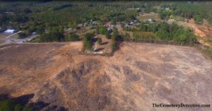
land surrounding Naomi Cemetery clear cut the entirety of
the protective forest.

Sunlight is no longer filtered through a thickened
canopy and trees no longer filter the air.

Naomi lies fully exposed and its gravestones suffer
under a layer of dust stirred up by heavy tree cutting equipment.

On the one year anniversary of their child’s
death, the young couple visits the grave site of the
child taken, too soon, from this world of life.

Their sorrow is abating with time. They are
changed and so, too, is Naomi Cemetery.

State Line Cemetery and the Nickajack Bat Cave

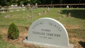
State Line Cemetery was established in the early 1800’s.

A visit to State Line Cemetery

On a recent trip to the Nickajack Bat Cave on the shoreline of the Tennessee River, I discovered a cemetery very near the junction of the Tennessee, Alabama, and Georgia borders.

State Line Cemetery

State Line Cemetery was established in the early 1800’s. This coincides with the era many Euro-Americans were moving into this part of Tennessee. The land was still heavily populated and influenced by Native American culture. However, the political, economic, and cultural landscapes were changing. Additionally, the environmental landscape was changing with farmers beginning to graze livestock in the area.

State Line Cemetery Established Early 1800's

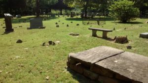
Many of the early gravestones are simple fieldstones laid to mark each gravesite. These early gravestones have no discernable markings thus giving no indication of the name nor date-of-death of the interred. Other grave markers are more modern dating to recent years.

State Line Cemetery Picture

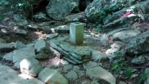
Stateline Cemetery encompasses ground very near the junction point of the Tennessee, Alabama, and Georgia borders. If you wish to visit this junction, park your car at the cemetery and find a trail heading due west. The junction point lies about 100 yards from the westernmost edge of State Line Cemetery.

3 State Border Junction

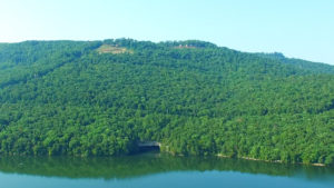
For added excitement to your cemetery hunting, visit the Nickajack Bat Cave at sunset. The cave can be accessed via the Maple View Public Use Area. Shortly after sunset, thousands of bats exit the cave. They flood the tree tops in search of their nightly meals consisting of various insects.

nickajack-bat-cave-above

There is a short hiking trail leading to an observation platform. If you have a kayak, you viewing will be greatly enhanced as you can kayak right up to the mouth of the cave and watch the bats exit directly overhead.

Nickajack Bat Cave


1) Nickajack Bat Cave

2) TN AL GA Border Junction

Hunt Family Cemetery – Chickamauga, Georgia

The Hunt Family Cemetery on the Grounds of the Chickamauga Battlefield

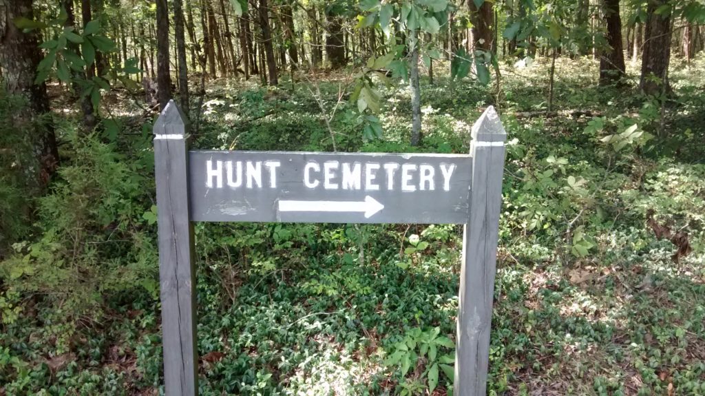
Hunt Cemetery - Sign

Hunt Cemetery – Chickamauga, Ga.

Approximate Directions: Drive to the parking area at approximately:
lat. 34.896901 lon. -85.244002.
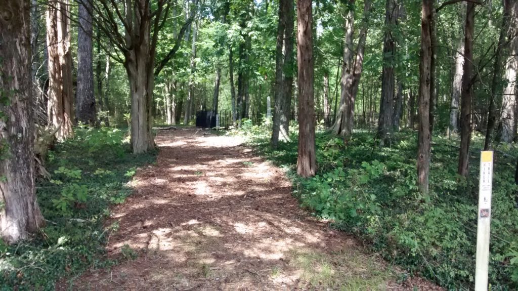
Walk down the gravel road about .4 miles ’til you come to a clearing. There is a yellow blazed trail to your left. If the trail is overgrown (as it was when I last visited) follow the road then bear left as you follow the edge of the pasture land. In about 800 feet, you will see another hay field to your left. Follow the left edge of that pasture and you will come to the Hunt Cemetery in about 500 feet.
The Hunt Cemetery is located at approximately:
lat. 34.892761 lon. -85.241823
If you’re not good with finding your way through overgrown trails or trekking down dirt paths, stop your car at the Chickamauga Battlefield’s Visitor’s Center and ask for a map to the cemetery.

Hunt Cemetery - In the woods

Chickamauga and Chattanooga National Military Park

Deep in the forests of the Chickamauga and Chattanooga National Military Park (commonly referred to as the Chickamauga Battlefield) lies a cemetery of the Hunt family.

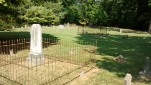
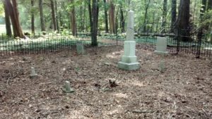
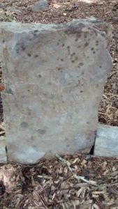
The Hunts owned and farmed the land in the years before the famous Battle at Chickamauga. Buried here are several family members in marked graves within a cast iron fence. Outside the fence, numerous field-stone marked and unmarked grave sites can be found within the wooded cemetery. Presumably, these are grave sites of family members and workers of the farm.

Hunt Cemetery - Fenced in area.

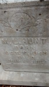
M.L. Hunt - Hunt Cemetery

Gravestone of Ann Robison

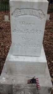
Gravestone of Helm Hunt

Singleterry Cemetery – Chickamauga Georgia

Singleterry (Singletary) Cemetery – Chickamauga Georgia

Singleterry Cemetery – Chickamauga Georgia

Nearby Attractions: Chickamauga Battlefield

Singleterry (or is it Singletary?) Cemetery is located behind a quaint white church tucked away in the North Georgia hills. I visited, the grass was growing long. Long grass is to be expected during a wetter than normal North Georgia summer.

Interestingly, this cemetery provides another example of divergence between a colloquial name and an officially registered name. Our records show that the official name is Singletary Cemetery. However, the cemetery sign clearly states that the name is spelled Singleterry.

Following a keen interest in cemeteries The Cemetery Detective has studied burying grounds from Hawaii to Maine, Europe, and throughout the United Kingdom. He instructs entrepreneurs how to start their own grave care businesses through his website: www.GraveCareBusiness.com

How to locate Singleterry Cemetery: