Cemetery Discoveries

Tall Hill Cemetery – Hixson, Tennessee


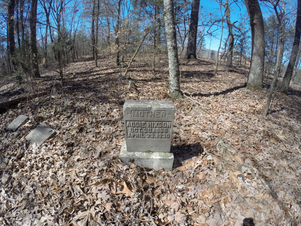
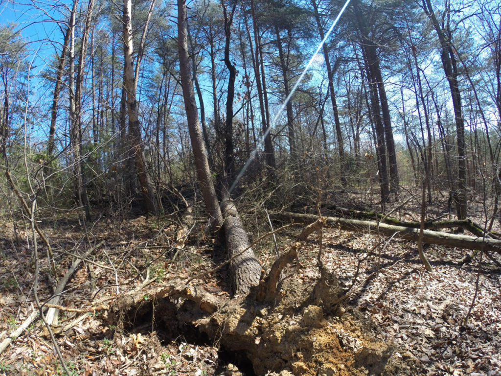
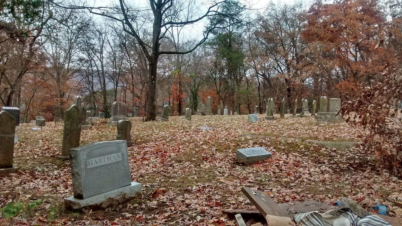
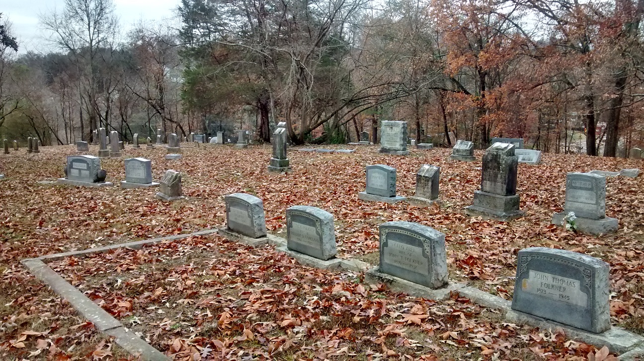
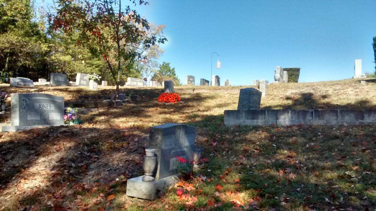
Tall Hill CemeteryTall Hill Cemetery in Hixson, Tennessee is on a wooded, neglected plot in the middle of an area experiencing tremendous change.

I like to think that I embrace change. Change is good. Change is necessary to keep things moving and keep life exciting. But when it comes to our communities and our ways of life and the historical significance of our neighborhood cemeteries, I’m a bit nostalgic. Sometimes change can overstep its bounds.

Tall Hill Cemetery


The Area Around Tall Hill Cemetery – Out With The Old

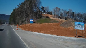
Surrounding Tall Hill Cemetery is a dated subdivision with houses built in the 1970s. Homeowners take pride in their subdivision, as they have for generations. However, big changes are coming to this community. This once sleepy area near Chattanooga Tennessee has fallen into the sights of major development companies. The subdivisions of the 1970s, like the one in the neighborhood of Tall Hill, are out of fashion these days. Newer, bigger design strategies call for the leveling of all that is old. With real-estate signs popping up along the roadside of Highway 153 like the red carpet being rolled out for Agamemnon, it won’t be long until the secluded nature of this immediate area experiences a demise from the pride that comes from soaring real estate prices.

Tall Hill CemeteryIn fact, that change has already affected the land immediately across Hwy 153. Hills and farm houses which once inhabited Grubb Road were razed in the early 2000s. Roads, a farm, and a way of life for many people disappeared to make way for a sports store and a sprawling black-topped parking lot. A few hundred yards away, bulldozers were quite during my visit but I could readily see barren land that was once a wooded hillside only a few weeks ago. As I drove to Tall Hill, my map showed the cut-through of a small country lane shaded by old growth trees but, alas, that lane was bulldozed away, along with a natural hillside, to make way for retail space.

Tall Hill Cemetery – Succumbing To Change?

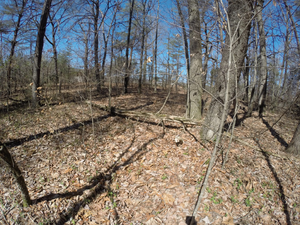
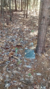
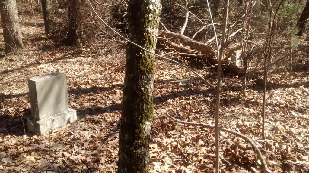
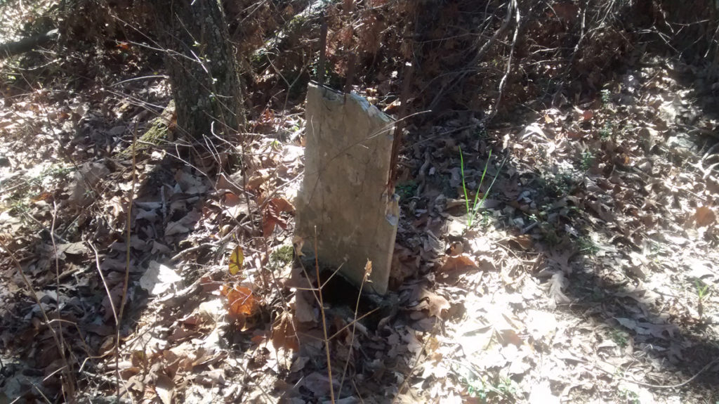
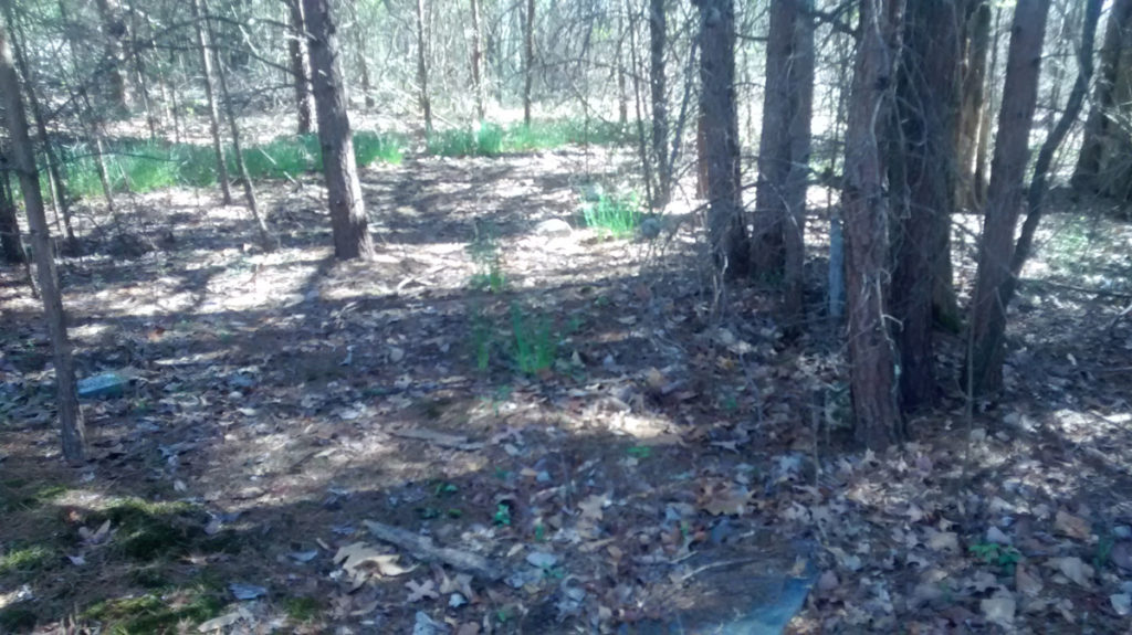
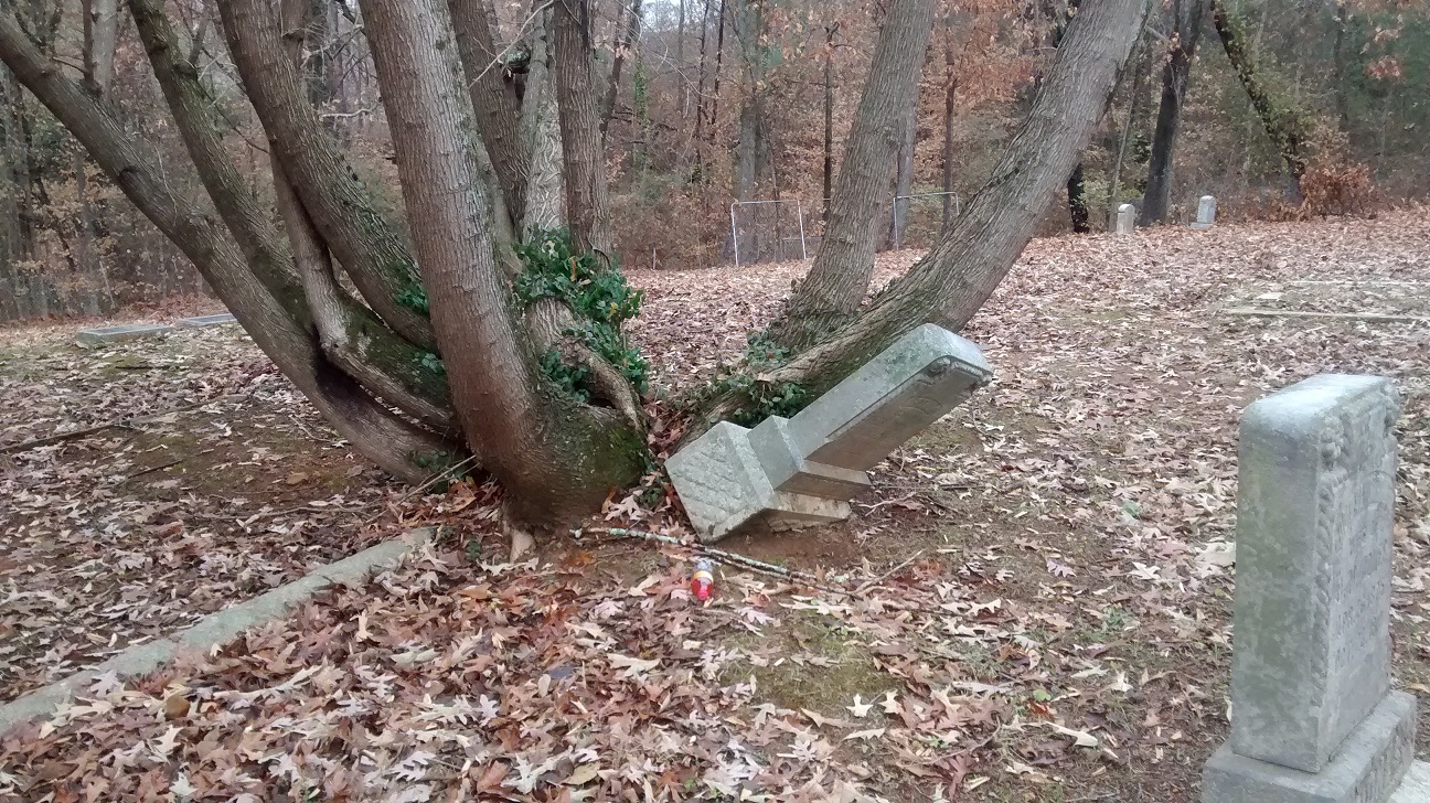
Tall Hill CemeteryTall Hill Cemetery is one of those cemeteries at highest risk for being wrongfully impacted by construction efforts. Tall Hill is long forgotten and neglected. Many relatives of those buried here have moved away or passed-away themselves. Save for a roughly maintained pathway into the heavily overgrown burial ground, there would be no visual indication of anything other than a wooded lot. Someone in the area keeps the narrow pathway cleared to several grave sites. However, vegetation and fallen trees have obliterated many of the gravestones in the innermost sections. Beneath the overgrowth, I scrambled in a crouched posture to view the few remaining gravestones and the myriad sunken grave sites. I wonder what has happened to the gravestones that were once placed atop these now vacant graves.

The earliest grave marker I found had a DOD of 1910. The remaining readable gravestones spanned years up to and including the 1970s.

Cemeteries Need Protection

As I drove away, passed the real-estate signs advertising high-end development projects, I fantasized about the property development companies in the immediate area devoting some of their resources to protecting and rehabilitating Tall Hill Cemetery.


Yes, change is good. And so is protecting the historical significance of our long forgotten neighborhood cemeteries.


Tall Hill Cemetery


Tall Hill Cemetery

Tall Hill Cemetery

Tall Hill Cemetery

Tall Hill Cemetery


Woodlawn Park Cemetery – Miami, Florida

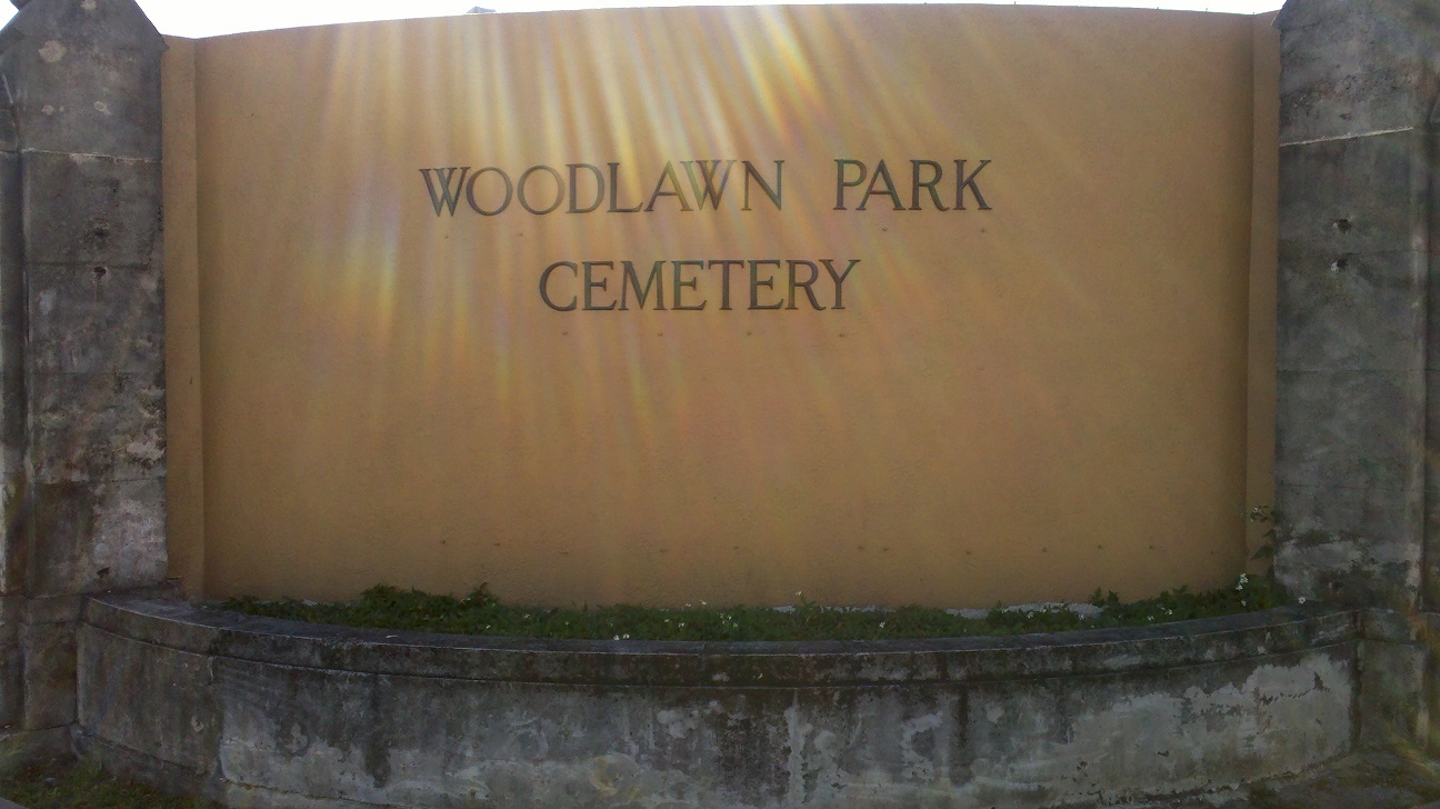
Woodlawn Park Cemetery Sign
Woodlawn Park Cemetery is one of Miami’s oldest and largest cemeteries.

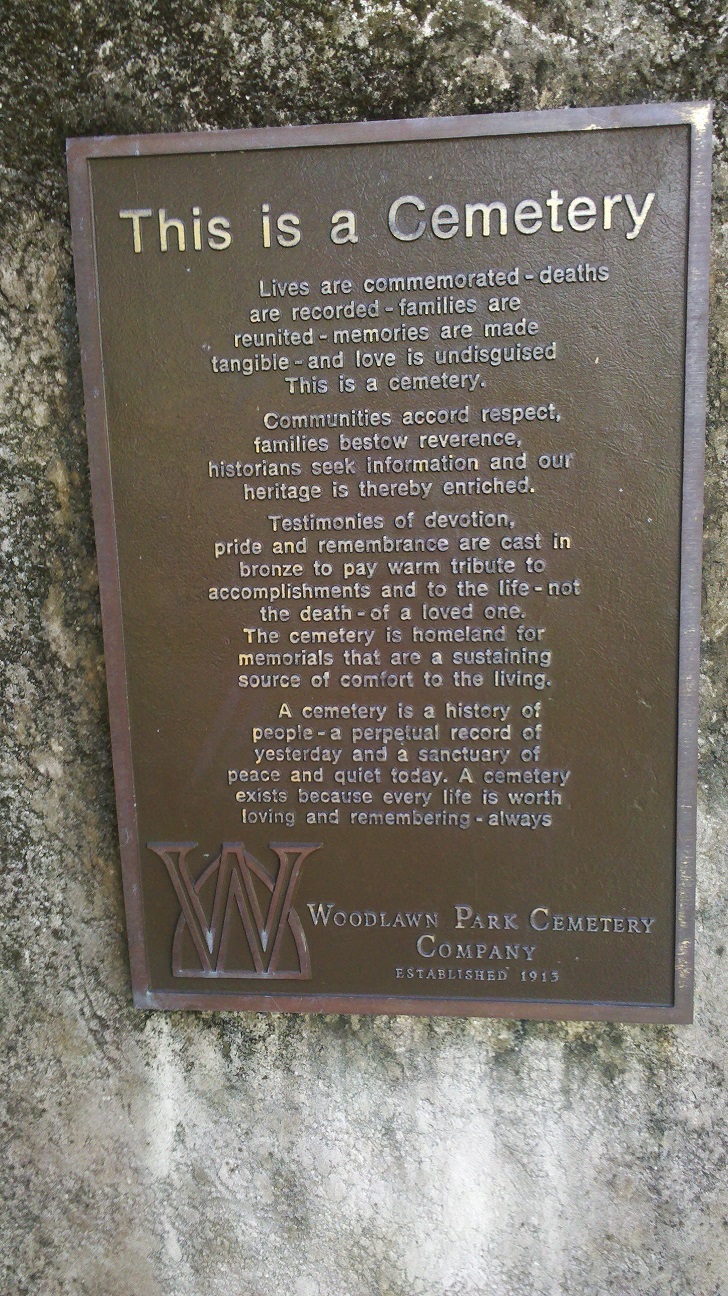
This Is A Cemetery
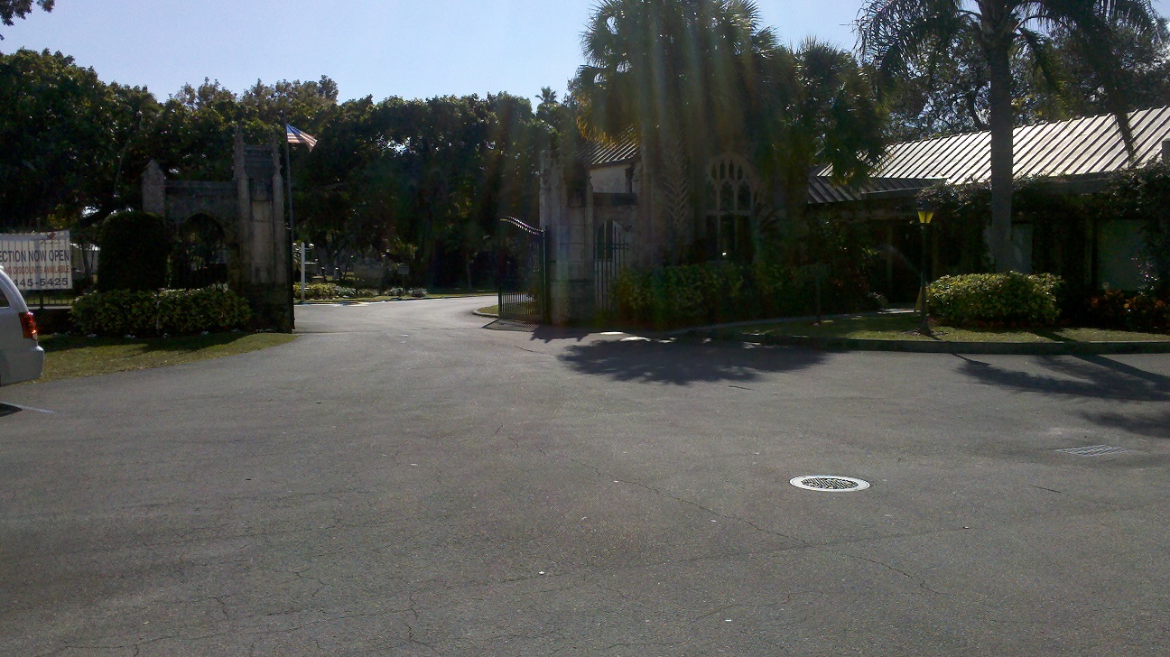
Woodlawn Park Cemetery Gates
In the traditional Woodlawn style, the cemetery gates display a Gothic arched styling popular in the mid to late 1800s.

Though it is a garden style cemetery, Woodlawn’s many open areas allows easy access and visibility.  This is Miami.  So, rolling hills and 3-dimensional geographic features are not existent here.  However, I enjoyed the exotic plants and tropical vegetation. 

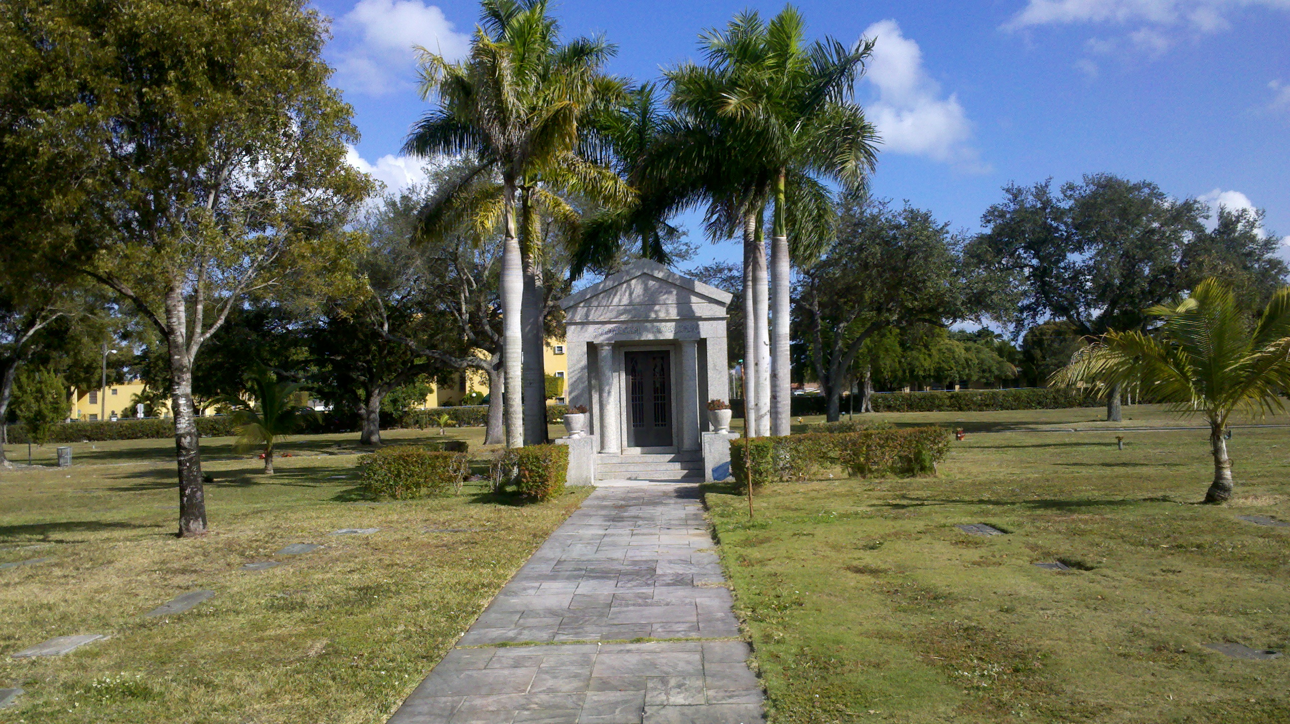
Cemetery Mausoleum

Cemetery Palm Trees
Even on this winter’s day (so cold back home) I enjoyed a long stroll through the traditional cemetery park layout.  Puffy clouds rolling behind swaying palm trees serve as a testament to Woodlawn’s tropical location.

One highlight of my tour of Woodland Park Cemetery was walking the vault of the substantial mausoleum. Richly coloured stained glass windows allow natural sunlight to illuminate the mausoleum’s hallways.  Marble corridors echo and reverberate each footstep.

Stained Glass Sun

Mausoleum

Blue Stained Glass

Mausoleum Garden

An interior atrium garden was such a refreshing surprise. I sat on a bench and meditated for several minutes. The calm solitude was a reassuring comfort.


Stanton Cemetery, Abingdon Virginia

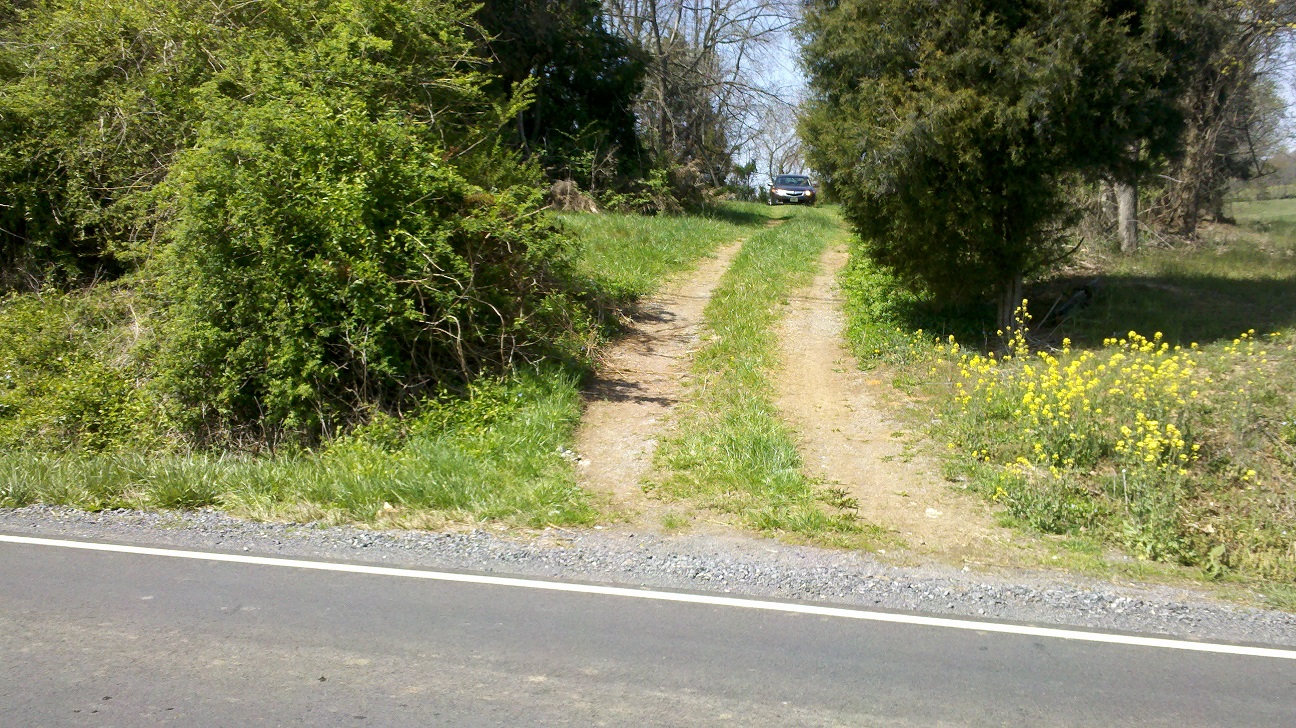
Stanton Cemetery Driveway

Stanton Cemetery is a small rural cemetery in a grove of trees.

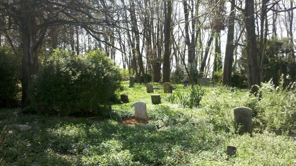
Seven miles North East of Abingdon, Virginia, in a nondescript grove of trees, lies a hidden cemetery just off Route 11.  There’s not a sign nor a cemetery marker.  But, there are several gravestones in this cemetery.

Gravestones in Stanton Cemetery

I was travelling up 81 on my way to Washington, DC to view the spring arrival of the blooming cherry trees.  Though I didn’t know it at the time, the cherry blossoms reached their peak 3 days earlier.Stanton Cemetery on a Hill

Turning off the paved road, I followed a double-track up a small hill to view the grave markers in this small rural cemetery.

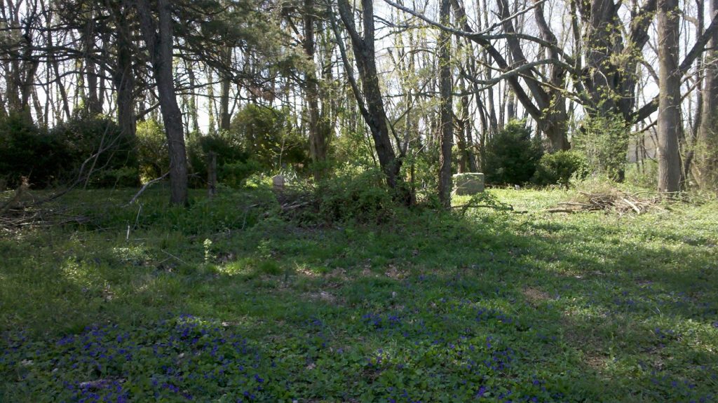
Though I missed the peak of the cherry blossoms in DC, I was greeted by the beauty of the wild flowers in Stanton Cemetery.


Mt. Pisgah Cemetery – Cripple Creek, Colorado

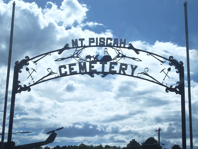
Mt. Pisgah Cemetery SignThe iron-worked gate welcoming you to Mt. Pisgah Cemetery includes symbology related to gold mining.

Near Pike’s Peak

I visited Colorado to climb Pikes Peak.  From the town of Manitou Springs, Colorado, the Barr Trail winds 13 miles to the top of Pikes Peak with an elevation of 14,114′ msl.  I LOVED this hike and I suggest anyone in good enough physical shape should make the hike at least once in their life.  This was the second 14’er I’ve climbed.  The first being Mt. Elbert on a different trip to Colorado.  I did not feel any altitude sickness but I did feel a bit sick at the top of Pike’s Peak when I realized a bottle of Gatorade was selling for $7.

Not wishing to hike down, I took the COG Railway.  Riding the railway was an adventure in itself.

Once back to the bottom, I hopped in my rented Jeep to begin exploring the countryside for a few days.  Whenever I’m in unfamiliar territory with time to spare, I turn off the GPS and try my best to get lost.  This strategy is made much more fun when I’m in a rented 4×4 Jeep.

Cripple Creek Colorado

A few miles outside Manitou Springs lies the town of Cripple Creek, Colorado.  When I first saw the signs for Cripple Creek, I starting singing “Up On Cripple Creek” by The Band.  I had always assumed the character in the song was from Cripple Creek, Colorado because he talks about getting “off this mountain.”  If any song lyrics experts are reading this, please drop me a note (I’ll leave the comments open below) to tell me if I’m wrong or right.

 Other than the iron gate and a static display of a  Huey helicopter, the first feature I noticed was a number of graves within a small grove of Aspens.

Mt. Pisgah Cemetery

Beneath Colorado’s brilliant blue sky, symbols signifying the importance of this town’s connection to mining adorn the tree stump grave marker of Charles Huggins.

A bronze elk stands steadfast in the lush grass as if to guard the graves from the mountain lions that mush surely inhabit nearby Mt. Pisgah.  As beautiful as this cemetery is, I question the use of chain link fencing to define the perimeter of family plots.

I thoroughly enjoyed strolling the grounds and looking at the views of Mt. Pisgah not too far in the distance.  This view is honored by my favorite grave marker in the cemetery.  It is a clear acrylic(?) grave marker which allows you to look completely through it to see the amazing landscape that surrounds Mt. Pisgah cemetery.


Cave Hill Cemetery – Louisville, Kentucky

The grounds of Cave Hill Cemetery in Louisville, Kentucky contain over 120,000 burials. Office staff are friendly and willing to give you directions to interesting gravesites.

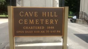
Cave Hill Cemetery Sign

A Pleasant Journey Through Cave Hill Cemetery

From the time I drove onto the grounds of Cave Hill Cemetery in Louisville, Kentucky, I was greeted by friendly staff members willing to give directions to several of the more interesting gravestones on the property.

1) Muhammad Ali

Office workers looked at me with a knowing smile on this hot summer afternoon.  They knew why I was here.  It was a few days after the summer solstice.  I was on my way home from a Cemetery Conference in Columbus, Ohio.  Cemetery workers were perplexed that I wasn’t focused on any single grave site.  I just wanted to have a good look around. Eventually, one of the office members indicated the direction to Muhammad Ali’s gravesite.  Finally, I understood their confusion. “Ohhhh…”, I thought, “Muhammad Ali is buried here!” While following a seady line of cars, I easily found my way to his grave site.  

Muhammad_Ali

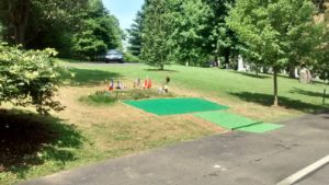
Muhammed Ali died only a few weeks before my visit.  Although his gravestone had yet to be placed, I visited his burial location.  Since my visit, his gravestone has been placed.  If you visit Cave Hill, please share your pictures of Muhammad Ali’s grave site with me.

2) Harland Sanders

Harland Sanders developed the Kentucky Fried Chicken chain of restaurants. Colonel Sanders is surrounded by family.  Margaret Sanders has a most beautiful verse inscribed into her gravestone.  
Watch the video below to see the inscription.
Harland Sanders

margaret_sanders

3) Harry Collins

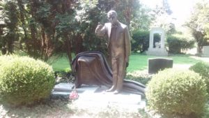
Harry Collins is honored with a delightful grave marker designed by Barney Bright.  A life-long Magician, Harry traveled the world promoting the Frito Lay Company. His grave marker perfectly describes Harry’s delightful presence.
harry_collins

I could easily spend hours exploring the miles of roadways in Cave Hill Cemetery.  However, I was able to take in many of the sights.  

The video below is a summary of my trip.

Please Enjoy this video of Cave Hill.

Kings Point Cemetery – Chattanooga, Tennessee

Kings Point Cemetery - Service Road

Kings Point Cemetery – Abandoned, Neglected, but not Forgotten

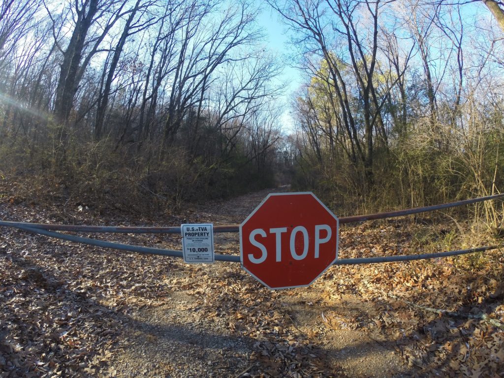
The sign on a rusty locked barricade warns of penalties for willful destruction or removal of U.S. Government property but “No Tresspassing” signs are not to be found. This service road does not appear on roadway maps. Conversely, the documented road (Pine Street) located 1/4 mile away from this location still exists on maps but no longer exists in reality.

Why has Pine Street, the main road leading into Kings Point Cemetery, vanished from reality? And, why has Kings Point Cemetery fallen into such a state of abandonment?

Kings Point Cemetery in Hamilton County, Tennessee dates back to 1830

A once prestigious cemetery containing notable figures in Chattanooga’s history, Kings Point Cemetery dates back to the mid 1800’s with some of the earliest burials from the Silvey family. As such; some local historians refer to the burial ground as Silvey Cemetery. It is on land now owned by the Tennessee Valley Authority.

TVA first became prominent in this immediate area in the 1930s when Chickamauga Dam was built on the Tennessee River 6 miles upriver of Chattanooga, Tennessee. Kings Point’s setting is high atop a hill overlooking Chickamauga Dam. The cemetery’s perch saved it from the fate of many other cemeteries in the area flooded by rising waters of the Tennessee River. Once the hydroelectric dam was completed in 1940, rising lake levels caused the relocation of 24 cemeteries. To TVA’s credit, the Governmental Agency prides itself on being sensitive to cultural issues such as the impact from their operations on area cemeteries.
3_graves

In fact, TVA has responsibly moved more than 550 cemeteries, in total, within its jurisdictional boundaries.

Their efforts of building the dam required TVA to purchase much of the surrounding land. Kings Point was acquired in the 1930s and officially closed in 1938. According to a gravemarker survey performed in 1941, the last known burial was in 1933.
[EDIT 04/03/2018: In further research of Kingspoint Cemetery, I have found evidence of burials later than those in the survey referenced above. According to Find-A-Grave, Hugh Jackson Studdard was buried in Kingspoint Cemetery in 1946. Furthermore, Find-A-Grave references a burial as late as 1961.]

When Pine Street was placed into disuse, clear access into Kings Point Cemetery was no longer available.
kings_point_cemetery

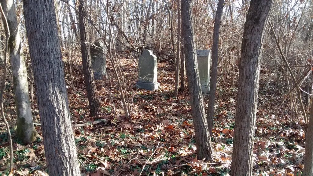
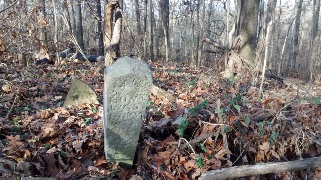
Kingspoint Cemetery has since fallen into complete disrepair. With scores of sunken gravesites, toppled tombstones, and a collapsed mausoleum, extreme caution must be heeded by visitors. A thick carpet of Periwinkle obfuscates landscape contours. Voids and obstructions are not readily apparent.
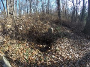
sunken_grave

Of the few epitaphs which can be read, interesting stories emerge. A stark example is that of Sam Cleage Lumpkin who was “Murdered Over a Dog Fight.”

Notable Burials

The most notable burials in Kings Point are those of the Woodward Family.

In today’s world of instant sharing of selfie pics via Facebook and Instagram, we can only imagine piling the entire family into a horse-drawn wagon for a day-long outing to have a professional photographer shoot a group picture. However, in February 1897, 10 members of the Woodward family excitedly took a family excursion. They loaded 10 family members into a wagon pulled by the family’s two horses on their way to Chattanooga for a family photograph.

At the railroad tracks near Orchard Knob Avenue, the whistles and bells of an oncoming passenger train went unheeded by the wagon driver. 24 year old George T. Woodward encouraged his horses across the tracks but not before Southern Railway Engine No. 846 barrelled into them. Bodies of the family were, reportedly, thrown as high as telegraph wires. The sole surviving family member, 3 year old Vergie Woodward, was discovered unhurt on the engine that pulled the train. The next day’s newspaper headlines read: “NINE MEMBERS OF ONE FAMILY HURLED INTO ETERNITY.”

All 9 family members killed by the tragedy are buried in Kings Point.

Can you imagine the sadness which surrounded these gravesites on this hallowed ground 120 years ago?

With the proven cultural sensitivity TVA has provided cemeteries in the past, it seems responsible to reopen Pine Street allowing free access and rehabilitation efforts to take place at Kings Point Cemetery.
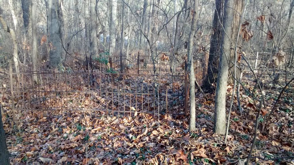

fenced_cemetery_plot

As with many abandoned cemeteries I visit, Kings Point is not included in Google Maps. I’ve suggested it to their database administrators in hopes it will be added soon. That said, the location map is included below. The cemetery is located on the map at the end of Pine Street which juts off Hwy 58.

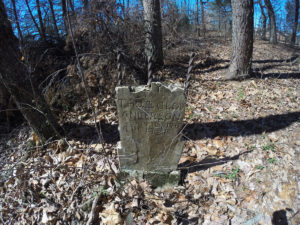
Shaw Cemetery – Red Bank, Tennessee

Red Bank Cemetery

Shaw Cemetery AKA Red Bank Cemetery

It’s a familiar scenario. I’m driving on a road I’ve driven a hundred times before. All of a sudden, I look up and notice gravestones on a hillside. Thus is the tale of how I found this cemetery in Red Bank, Tennessee.

Cemetery Obscured By Trees

Just past Hardee’s on Morrison Springs Road heading into Red Bank, Tennessee, a small grove of trees covers a hillside behind a rental house. The property owner recently cleared scrub brush from the hillside to increase visibility around a difficult intersection. I’ve driven this road dozens of times but I’ve never known there to be a cemetery anywhere near here.

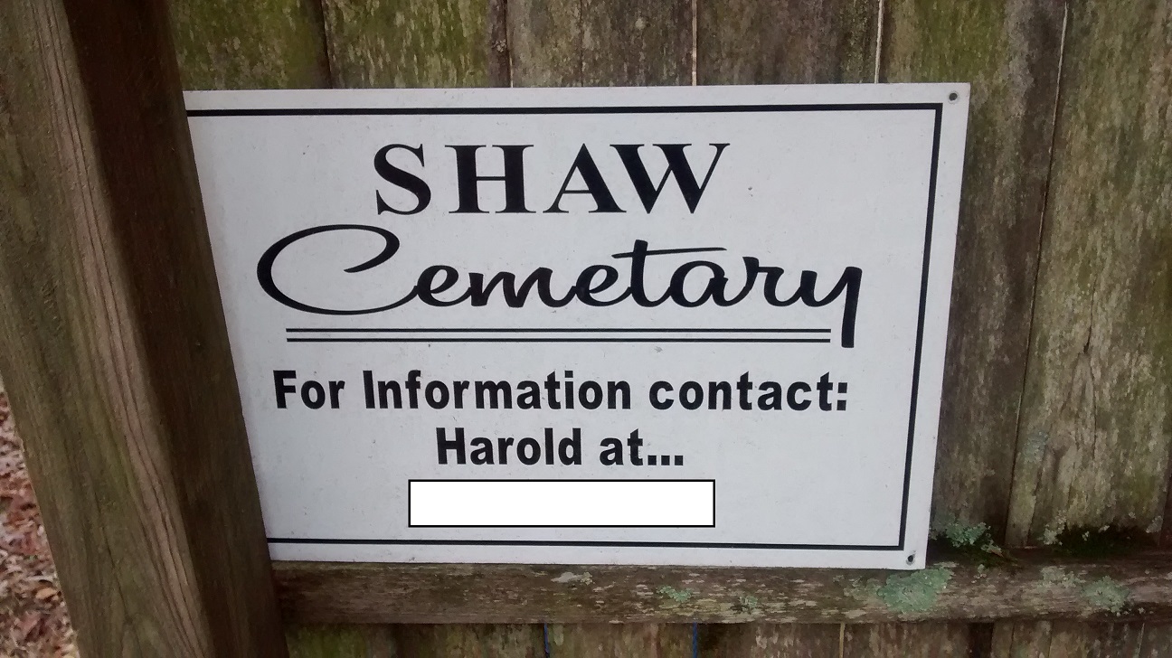
Loaded into my Garmin Nuvi GPS is a database of over 150,000 cemeteries. I use this as a backup to Google Maps and Billion Graves.  This GPS file helps me locate cemeteries. Although I’ve used this system to find hundreds of cemeteries all across the United States, I’ve never known about a cemetery in this area. However, with the scrub brush cut away, I caught a glimpse of a tombstone atop the hillside. I was so unaccustomed to seeing tombstones on this stretch of land that the vision through my eyes didn’t register in my brain until I almost reached the intersection at Dayton Boulevard. “HEY!!! There’s a cemetery up there.” Spinning around, I took a right on Oakland Terrace and then a 180° left onto a small side street. There, between and behind two residences is Red Bank Cemetery (the sign says “Shaw Cemetary[sic]”).

Red Bank Cemetery (Or Is It Shaw?)

The grave sites in Red Bank Cemetery date back as early as the late 1800s though the majority are from the mid 1900s. A survey of recorded grave markers can be found on the Hamilton County Genealogical Site Red Bank is a small enclave city completely surrounded by Chattanooga, Tennessee. Being so close to Chattanooga and the Civil War battles fought in the surrounding areas, I expected to see significant markers with names of civil war veterans. However, mentions of soldiers from the Civil War were difficult to find.

The cemetery is well maintained and is apparently still in somewhat modern use with the most recent marker reading a DOD 1997.

Whether it’s known as Shaw Cemetery or Red Bank Cemetery, I’m glad the property owner cleared away the trees giving greater visibility to this grave yard.

Red Bank Cemetery

gravestones in red_bank cemetery

Tilted Gravestone

As mentioned above, Red Bank Cemetery is not listed in the Google Maps database. As of the writing of this blog post (January 2017) I’ve submitted the location to Google and I hope it will be added soon.

Celestial Alignment Behind a 100 Year Old Gravestone

Celestial alignment behind a 100 year old gravestone.

I blithely strolled through this cemetery when I first discovered this celestial alignment.
With sun setting low on horizon this chilly autumn evening,
I was in the right place at the right time just as it kissed the horizon.
A lone sunbeam glinted perfectly through the little boy’s outstretched hand.

Grand Center Baptist Church Cemetery – Chickamauga, Georgia

In my continual study of North Georgia Cemeteries, I happened upon Grand Center Baptist Church

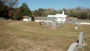
In my continual study of North Georgia Cemeteries, I happened upon Grand Center Baptist Church with a fenced-in cemetery directly behind the building. This cemetery confused me on three accounts.

Grand Center Baptist Church

When I first arrived at the cemetery, I pulled up Google Maps and Billion Graves to get a confirmation of the correct name and location. I’ve found many church yard cemeteries with names that are not correlated to the name of the church. According to Billion Graves, this cemetery is listed as Chickamauga Cemetery. However, I know Chickamauga Cemetery to be a much larger cemetery. Hmmmm. Why is this cemetery listed as Chickamauga Cemetery in Billion Graves? During further investigation, I found this cemetery to be omitted from Google Maps.

grand_center_churchyard

Is it possible this cemetery is not a nationally recognized cemetery and it only exists as a burying yard on church grounds?

Grand Center Baptist Church

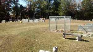
The next thing that confused me was a tall chain-link enclosure right in the middle of the cemetery. What an odd location for a chain-link enclosure. Why is it here? Is it for placement of old flowers? Is it protecting a piece of land that is not to be walked on? I don’t know.

The third thing that confused me was a barely readable sign located within a family plot on the western edge of the cemetery. The sign read: “Grave Service Made By Samuel Buchanan For Family In The Deed Which Transferred This Tract To The Public As A Burial Ground.” I imagine this is a legal statement and probably has something to do with the reason this cemetery is not listed on my cemetery maps.

cemetery_sign

Overall, this was a very pleasant cemetery; well maintained with nice flowers. I wish someone would have been in the church so I could have asked a few questions. If anyone with knowledge of this cemetery has answers, please leave comments below or email me via the “contact page.”

Eastview Cemetery – Adairsville, Georgia

The parallel lines of Eastview Cemetery.

I am always fascinated with cemetery layouts.

One thing I’m always looking for is in what direction does the headstone face. It is common practice for headstones to face east with the interred’s head toward the west end of the grave. So, if the body were to rise up (as in during the time of the rapture) the body would be facing east toward the coming of Christ. This is not always the case, however, as seen in the Resaca Confederate Cemetery I visited earlier today. Many of those burials are in a circular pattern facing a large stone cross at the center of the cemetery.

Eastview Cemetery – Parallel Lines

Another pattern I observe is the divisions of sections of the cemetery. Eastview Cemetery in Adairsville Georgia has some of the most perfectly straight lines of any cemetery I’ve ever visited. Each section is approximately 50′ wide separated by a perfectly straight driveway. Funnily, though this cemetery is named “Eastview”, most all burial sites face west.

I can imaging in days-gone-by, this was a prestigious cemetery. The cemetery’s grass is well maintained despite the closeness of many of the grave markers. The majority of the grave markers are in decent condition. I found several very interesting oval tombstones. The marble obelisks show some signs of sugaring but their overall condition is good.

While I was strolling the grounds, reading the grave inscriptions, and doing some cemetery photography, I saw several families visiting, placing grave flowers, and visiting with their departed loved-ones.

eastview_cemetery

Marble Graves in Eastview Cemetery

Obelisk in Eastview Cemetery

[cardboard id=”1112″]